WW-Standorte 404 Oberkotzau: Unterschied zwischen den Versionen
Aus FGV WegeWiki
Zur Navigation springenZur Suche springen
Keine Bearbeitungszusammenfassung |
Keine Bearbeitungszusammenfassung |
||
| Zeile 3: | Zeile 3: | ||
! Koordinaten | ! Koordinaten | ||
! Foto | ! Foto | ||
|- | |- | ||
| V404_S001 | | V404_S001 | ||
| [https://geoportal.bayern.de/bayernatlas/?topic=ba&lang=de&bgLayer=atkis&zoom=13&crosshair=marker&E=709170&N=5574360 32U 709170 5574360] | | [https://geoportal.bayern.de/bayernatlas/?topic=ba&lang=de&bgLayer=atkis&zoom=13&crosshair=marker&E=709170&N=5574360 32U 709170 5574360] | ||
| Zeile 11: | Zeile 11: | ||
|- | |- | ||
|} | |} | ||
|- | |- style="background-color:#dddddd;" | ||
| V404_S002 | | V404_S002 | ||
| [https://geoportal.bayern.de/bayernatlas/?topic=ba&lang=de&bgLayer=atkis&zoom=13&crosshair=marker&E=709264&N=5574276 32U 709264 5574276] | | [https://geoportal.bayern.de/bayernatlas/?topic=ba&lang=de&bgLayer=atkis&zoom=13&crosshair=marker&E=709264&N=5574276 32U 709264 5574276] | ||
| Zeile 17: | Zeile 17: | ||
{| | {| | ||
|} | |} | ||
|- | |- | ||
| V404_S003 | | V404_S003 | ||
| [https://geoportal.bayern.de/bayernatlas/?topic=ba&lang=de&bgLayer=atkis&zoom=13&crosshair=marker&E=709281&N=5574269 32U 709281 5574269] | | [https://geoportal.bayern.de/bayernatlas/?topic=ba&lang=de&bgLayer=atkis&zoom=13&crosshair=marker&E=709281&N=5574269 32U 709281 5574269] | ||
| Zeile 23: | Zeile 23: | ||
{| | {| | ||
|} | |} | ||
|- | |- style="background-color:#dddddd;" | ||
| V404_S004 | | V404_S004 | ||
| [https://geoportal.bayern.de/bayernatlas/?topic=ba&lang=de&bgLayer=atkis&zoom=13&crosshair=marker&E=708735&N=5573421 32U 708735 5573421] | | [https://geoportal.bayern.de/bayernatlas/?topic=ba&lang=de&bgLayer=atkis&zoom=13&crosshair=marker&E=708735&N=5573421 32U 708735 5573421] | ||
| Zeile 29: | Zeile 29: | ||
{| | {| | ||
|} | |} | ||
|- | |- | ||
| V404_S006 | | V404_S006 | ||
| [https://geoportal.bayern.de/bayernatlas/?topic=ba&lang=de&bgLayer=atkis&zoom=13&crosshair=marker&E=709060&N=5572192 32U 709060 5572192] | | [https://geoportal.bayern.de/bayernatlas/?topic=ba&lang=de&bgLayer=atkis&zoom=13&crosshair=marker&E=709060&N=5572192 32U 709060 5572192] | ||
| Zeile 37: | Zeile 37: | ||
|- | |- | ||
|} | |} | ||
|- | |- style="background-color:#dddddd;" | ||
| V404_S010 | | V404_S010 | ||
| [https://geoportal.bayern.de/bayernatlas/?topic=ba&lang=de&bgLayer=atkis&zoom=13&crosshair=marker&E=709798&N=5569756 32U 709798 5569756] | | [https://geoportal.bayern.de/bayernatlas/?topic=ba&lang=de&bgLayer=atkis&zoom=13&crosshair=marker&E=709798&N=5569756 32U 709798 5569756] | ||
| Zeile 45: | Zeile 45: | ||
|- | |- | ||
|} | |} | ||
|- | |- | ||
| V404_S124 | | V404_S124 | ||
| [https://geoportal.bayern.de/bayernatlas/?topic=ba&lang=de&bgLayer=atkis&zoom=13&crosshair=marker&E=715033&N=5567370 33U 287026 5567287] | | [https://geoportal.bayern.de/bayernatlas/?topic=ba&lang=de&bgLayer=atkis&zoom=13&crosshair=marker&E=715033&N=5567370 33U 287026 5567287] | ||
| Zeile 51: | Zeile 51: | ||
{| | {| | ||
|} | |} | ||
|- | |- style="background-color:#dddddd;" | ||
| V404_S125 | | V404_S125 | ||
| [https://geoportal.bayern.de/bayernatlas/?topic=ba&lang=de&bgLayer=atkis&zoom=13&crosshair=marker&E=713653&N=5568494 32U 713653 5568494] | | [https://geoportal.bayern.de/bayernatlas/?topic=ba&lang=de&bgLayer=atkis&zoom=13&crosshair=marker&E=713653&N=5568494 32U 713653 5568494] | ||
| Zeile 65: | Zeile 65: | ||
|- | |- | ||
|} | |} | ||
|- | |- | ||
| V404_S128 | | V404_S128 | ||
| [https://geoportal.bayern.de/bayernatlas/?topic=ba&lang=de&bgLayer=atkis&zoom=13&crosshair=marker&E=712540&N=5569168 32U 712540 5569168] | | [https://geoportal.bayern.de/bayernatlas/?topic=ba&lang=de&bgLayer=atkis&zoom=13&crosshair=marker&E=712540&N=5569168 32U 712540 5569168] | ||
| Zeile 77: | Zeile 77: | ||
|- | |- | ||
| [https://wege.fichtelgebirgsverein.de/ww_standort_foto/V404/S128/404-S128.jpg https://wege.fichtelgebirgsverein.de/ww_standort_foto/V404_small/S128/404-S128.jpg] 404-S128.jpg (2023:04:22 11:39:20) | | [https://wege.fichtelgebirgsverein.de/ww_standort_foto/V404/S128/404-S128.jpg https://wege.fichtelgebirgsverein.de/ww_standort_foto/V404_small/S128/404-S128.jpg] 404-S128.jpg (2023:04:22 11:39:20) | ||
|- | |||
|} | |||
|- style="background-color:#dddddd;" | |||
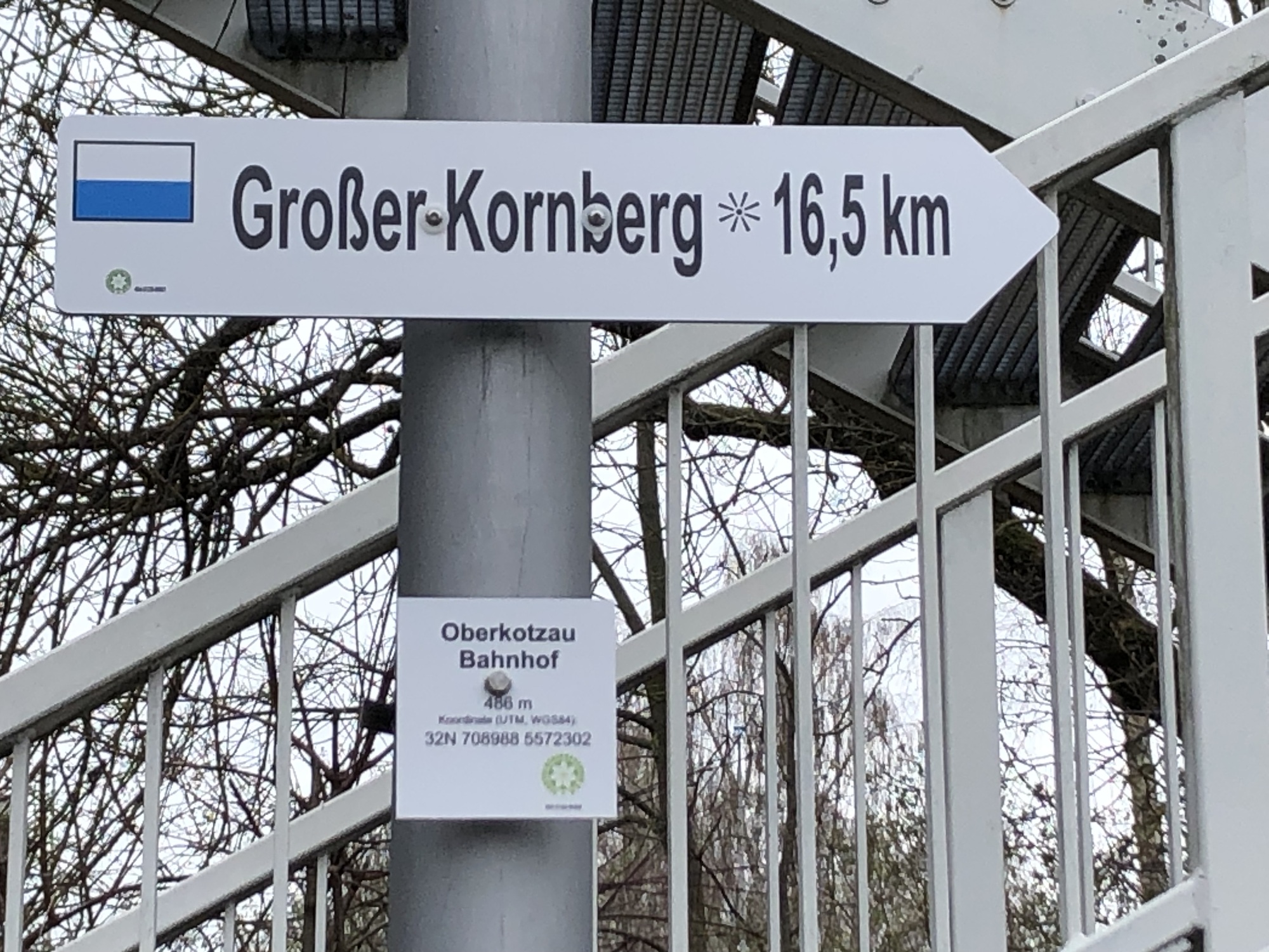
| V404_S129 | |||
| [https://geoportal.bayern.de/bayernatlas/?topic=ba&lang=de&bgLayer=atkis&zoom=13&crosshair=marker&E=708988&N=5572303 32U 708988 5572303] | |||
| | |||
{| | |||
| [https://wege.fichtelgebirgsverein.de/ww_standort_foto/V404/S129/404-S129.jpg https://wege.fichtelgebirgsverein.de/ww_standort_foto/V404_small/S129/404-S129.jpg] 404-S129.jpg (2023:04:12 10:13:22) | |||
|- | |- | ||
|} | |} | ||
Aktuelle Version vom 8. Dezember 2025, 19:32 Uhr
| Standort-Nr | Koordinaten | Foto | ||||
|---|---|---|---|---|---|---|
| V404_S001 | 32U 709170 5574360 |
| ||||
| V404_S002 | 32U 709264 5574276 |
| ||||
| V404_S003 | 32U 709281 5574269 |
| ||||
| V404_S004 | 32U 708735 5573421 |
| ||||
| V404_S006 | 32U 709060 5572192 |
| ||||
| V404_S010 | 32U 709798 5569756 |
| ||||
| V404_S124 | 33U 287026 5567287 |
| ||||
| V404_S125 | 32U 713653 5568494 |
| ||||
| V404_S128 | 32U 712540 5569168 |
| ||||
| V404_S129 | 32U 708988 5572303 |
| ||||
| V404_S347 | 33U 286300 5567989 |
| ||||
| V404_S349 | 33U 286072 5568697 |
| ||||
| V404_S353 | 32U 713163 5571043 |
|